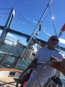
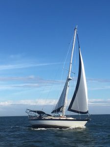
 Technically New York wasn’t a port of call this year since we sailed through, but it really does deserve it’s own post since sailing through New York is one of the most unique experiences ever. No matter how many times I do it (and we’ve been doing this for 10 years), it never gets old.
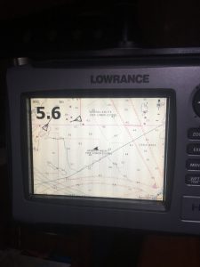
Everything has to be timed based on the current going up and down the East River, which can be vicious. Ideally you want to be at Hell Gate (no joke, true name) north of Roosevelt Island at slack water. We usually anchor in Port Washington the night before, so it only takes 90 minutes to get to that spot. And you pass both LaGuardia Airport and Rikers prison barge on the way, which are always interesting.
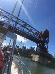
Roosevelt Island Bridge
This year we managed to unfortunately time our passage with the UN General Assembly. During the week, the Coast Guard closes the main channel of the East River. This forces boats into the east channel around Roosevelt Island and requires the raising of the Roosevelt Island Bridge to allow our mast to pass under. Bridge control is very responsive and they raise the bridge on demand, but it’s very unnerving to be pulled down river by the current as you bite your lip and wait for the bridge to open.
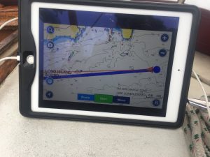
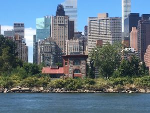 The rest of the bridges in New York are fun to see, as well as all the famous sites. As you come out from under the southern tip of Manhattan you get a clear view of the Statue of Liberty. Then it’s under the Verrazzano Bridge and we’re home on our mooring in Staten Island in just a couple of hours.
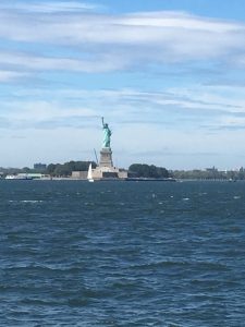
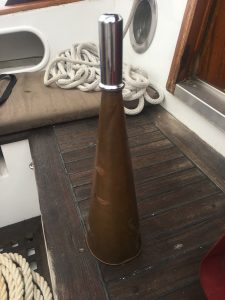
Tanqueray – the welcoming committee
This year’s return was particularly fun because Lawrence had been watching us on AIS and came out into Raritan Bay as a welcoming committee…..
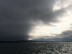 There’s nothing worse than the sinking feeling in your stomach when you look at a weather forecast and read ” wind 30 knots, gusting to 45, seas 7-9 feet.” Our boat is heavy, we know when to shorten sail (have the minimum amount of canvas up to sail safely), and we can take it. But how nice not to be out in it if you really don’t have to.
Recent Comments