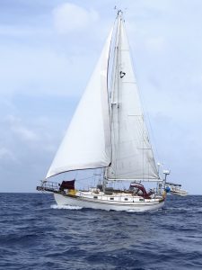
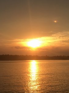
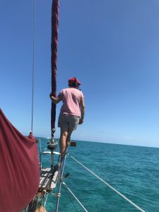
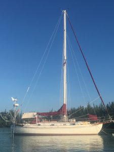
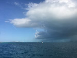
Kalyra under sail
The day before we left Spanish Wells, another boat pulled into our mooring field. Unfortunately, he came in during a massive downpour (we had just returned our golf cart and were standing under a roof, waiting to make a dash up the road for lunch without getting drenched). Fortunately, the downpour eventually ended and we met our new neighbor. Simon is a Brit who’s lived in Sarasota for the last 25 years running a successful café. More importantly, he owns a 1979 Cabo Rico, an absolutely stunningly beautiful boat. The Cabo Ricos are of a similar age and design as the Tayana 37 with classic lines and a long, cutaway full keel that makes for solid sailing, if not the speediest.
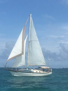
s/v Reverie and Captain Simon
Simon had taken on bad fuel in one tank and had spent hours and hours working on the engine instead of being able to enjoy being in the Bahamas on a sailboat. He managed to limp into Spanish Wells to get clean fuel, and over sundowners we realized we were moving in the same direction, up to the Abacos. We decided to do a bit of buddy boating the next day.
Simon is sailing solo, and the northern exit from Spanish Wells is a bit of a tricky one, going through several coral reefs. Some people hire pilots to guide them through, but we talked to the wife of one of the local pilots and she reassured us that we should be able to do it on our own, since it was settled weather. We waited till the sun was high enough, and then headed out with Simon just behind us. Putting our new headsets on again, I perched on the bow and called out reefs. It wasn’t as bad as I had worried, but Simon admitted that he had felt much better being able to follow us through without incident.
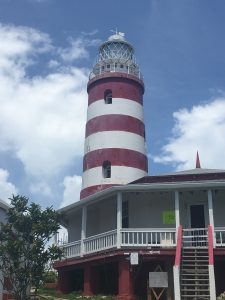
Hope Town, Abacos, Lighthouse
Once pointed to the Abacos, Simon set full sail and slowly pulled away from us as we were under jib only. We had a moment: We were doing less than 4 knots, and were only going to pick up speed by putting up the main. The mainsail? Don’t remember it. Haven’t seen it, much less used it in 2 months when we were back in the Virgin Islands. Would we remember all the details of hoisting it? Luckily, the sail was still in good shape and hoisted up easily enough (a little harder to do than just rolling out the jib – I had to put some muscle into it). We were soon enough back in the low 5’s and soon caught up to Simon and pulled just a little bit ahead. Of course, we both took the chance to take some great pictures of each other.
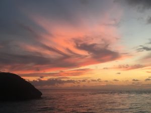
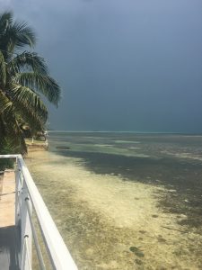
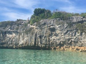
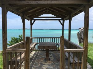
We anchored that night just behind Lynyard Cay with great protection, good holding, and just a few other boats in the vicinity. Simon popped over for sundowners and mentioned that he had been studying the charts and there was a marine park just north of us, on our way to Hope Town. It sounded like a good plan.
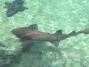
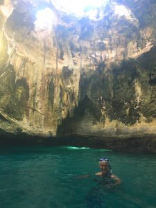
We got up the next morning and headed 3 miles north to drop anchor behind Sandy Cay at low tide. Simon picked us up in his dinghy and in just a few minutes we were on a mooring over the reefs. The snorkeling was very physical (even at slack tide there was a serious current) but the reefs were fabulous. Sea fans were everywhere and fish were swimming in and out of the coral heads. Diving would have been better to escape some of the current, but it really was great snorkeling. The two highlights were the black tipped shark and the sea turtle – neither of which get old when we’re in the water!
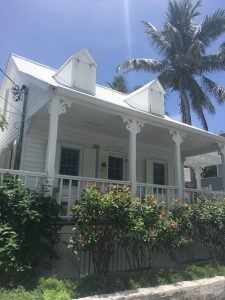
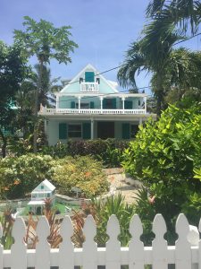
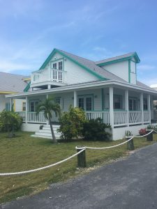
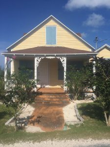
Bahamian architecture
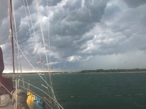
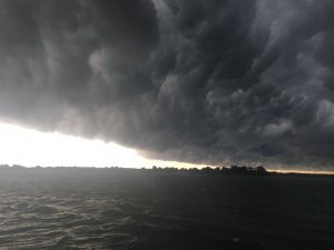
A shower to rinse off the salt and a bit of lunch later, we were moving on to Hope Town. The Sea of Abaco isn’t as peppered with coral heads that warrants me standing on the bow with a headset, but shifting sands and shallows required a bit of active sailing, changing course multiple times to get to the anchorage. There were some crazy thunderstorms running parallel to us that we kept our eyes on, but nothing ever came close. (I think we’re a bit paranoid since recent friend Matthew reported being hit by lightning last week and losing all of his catamaran electronics). We dropped anchor off Parrot Cays at the end of the day, enjoyed our usual sundowners (Trip fell asleep, but we didn’t care because Simon and I were too busy talking about food), and made plans for the next day.
More Bahamian architecture
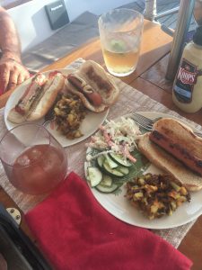
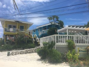
Sunday was a bit quiet in Hope Town, and it is low season, but it’s a remarkably charming place. We stopped at the Lighthouse Marina first to do a bit of laundry and walk up to the iconic red/white striped lighthouse that can be seen for miles. Then we headed across the harbor and wandered around, enjoying the tiny colorful cottages. We wound up at the Harbor’s Edge for lunch on the covered patio looking over the harbor. We’re hooked on the conch chowder (despite eating it in 90 degree heat) and I decided to try the cracked conch – very tasty!
Monday morning we got up and started with our usual routine of listening to our weather router, Chris Parker. Our original plan had been to do two or three day sails working our way over to Great Sale Cay (further north and west along the Abacos) and then to wait for our weather window. Imagine our surprise when Trip consulted with Chris who said, “I would leave tomorrow, from Hope Town direct to Savannah.” The weather window looks really good, with only one day (tomorrow) forecasting any significant squalls which should be short and hopefully will bring rain and not wind. All of the winds the next three days are coming from the southeast, exactly the opposite direction of where we’re heading. It’ll be a little light, but I’m not complaining if we have to motor a bit here or there!
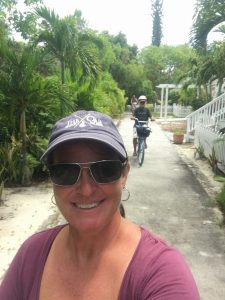
Bike-riding selfie
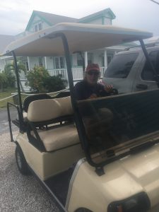
So Trip loaded diesel jerry cans into the dinghy and I made a final provisioning list. We snagged Simon on the way and headed back into Hope Town where we rented bikes. (At $12 a day per person, it wasn’t worth the effort of getting ours out from under our v-berth.) With great biking paths (the ‘highway’ is really built for golf carts rather than standard cars or trucks) we headed as far south as we could get and enjoyed the views from both the Sea of Abaco and the Atlantic side. We stopped at Gaffers for a drink and a break (biking mid-day in the sun is haaaaaard work), and then continued back north again. We stopped at the six or so boutiques on the island, but I really couldn’t find anything I like (between Bahamas and St Barths, I really can’t justify spending $25-45 on a tshirt!) so it was on to lunch. We pulled up to Wine Down Sip Sip (awesome name) just 10 minutes before they stopped serving lunch. We hurriedly put in orders and then sat back to wait. The cheesey doo (cheese dip) and flatbread pizzas didn’t disappoint.
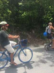
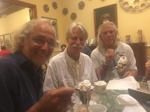
Trip and Simon
At that point we had to say farewell to Simon. Damn, you’d think with the number of times we get to know someone quickly and then say goodbye while cruising, it would get easier, but it doesn’t! Simon headed off and we turned back to return our bikes. After that it was a quick visit of the Hope Town Historical Museum (nice, but I much preferred Spanish Wells), a bit of provisioning (I’m hooked on the Sands Radlers (beer mixed with grapefruit soda)), and it was back to the boat. We had wanted to stop at the lighthouse again to actually go up this time, but the skies were threatening to open (as they do every afternoon), so we hustled back. Dinghy is up, outboard secured, Trip is pondering his charts, and I’m debating how early to start dinner before we sit down with the last of our Netflix downloads tonight.
It’s a very bittersweet moment. The next country we clear into will be the good ol’ US of A. Though we won’t be home until a couple of weeks after that (does take a bit to wind your way up the coast during summer weather), this is the first ‘end’ to this adventure……Reflections on that later.
So long Bahamas, Savannah here we come!
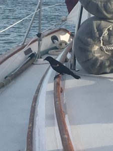
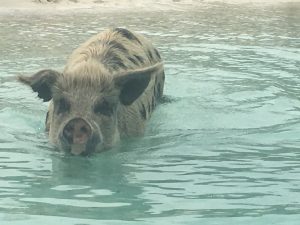
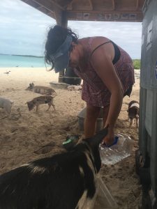
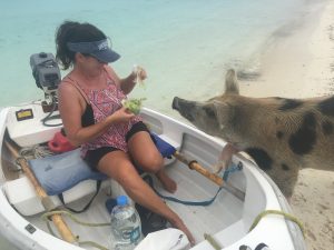
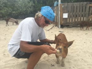
New friend – continuously visited the boat for 2 days!


Recent Comments